In July, our research team (including Orlin and Kristen) worked hard to begin seabird captures to deploy both global location sensor (GLS) and global positioning system (GPS) tags on Black-Legged Kittiwakes (Figure 1) breeding on St. Paul Island. These two types of tags provide different information about the movements of seabirds.
GLS tags are miniaturized tags that weight only 1 gram, and are attached to a plastic leg band that is wrapped around the lower leg of a seabird. These tags measure light levels, which can be used to estimate a bird’s geographic position after data processing. Because GLS tags are so
small, they can be worn by a bird for an entire year!
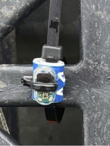 GLS Tag attached to a color band
The GLS tags are deployed on breeding adults, and then retrieved the following year when the birds return to the same nest to breed again. The GLS tag is then removed and the light-level data are downloaded for analysis. Understanding where the kittiwakes go during the non-breeding season is
important for spatial-habitat planning and fisheries management.
Importantly, the GLS tags are much less accurate in their position estimations (~100 km) than GPS tags (~2 m), but the longer-term tracking capability (1-2 years) of GLS allows for some really unique insight into seabird
migratory patterns, wintering habitats, and foraging ecology.
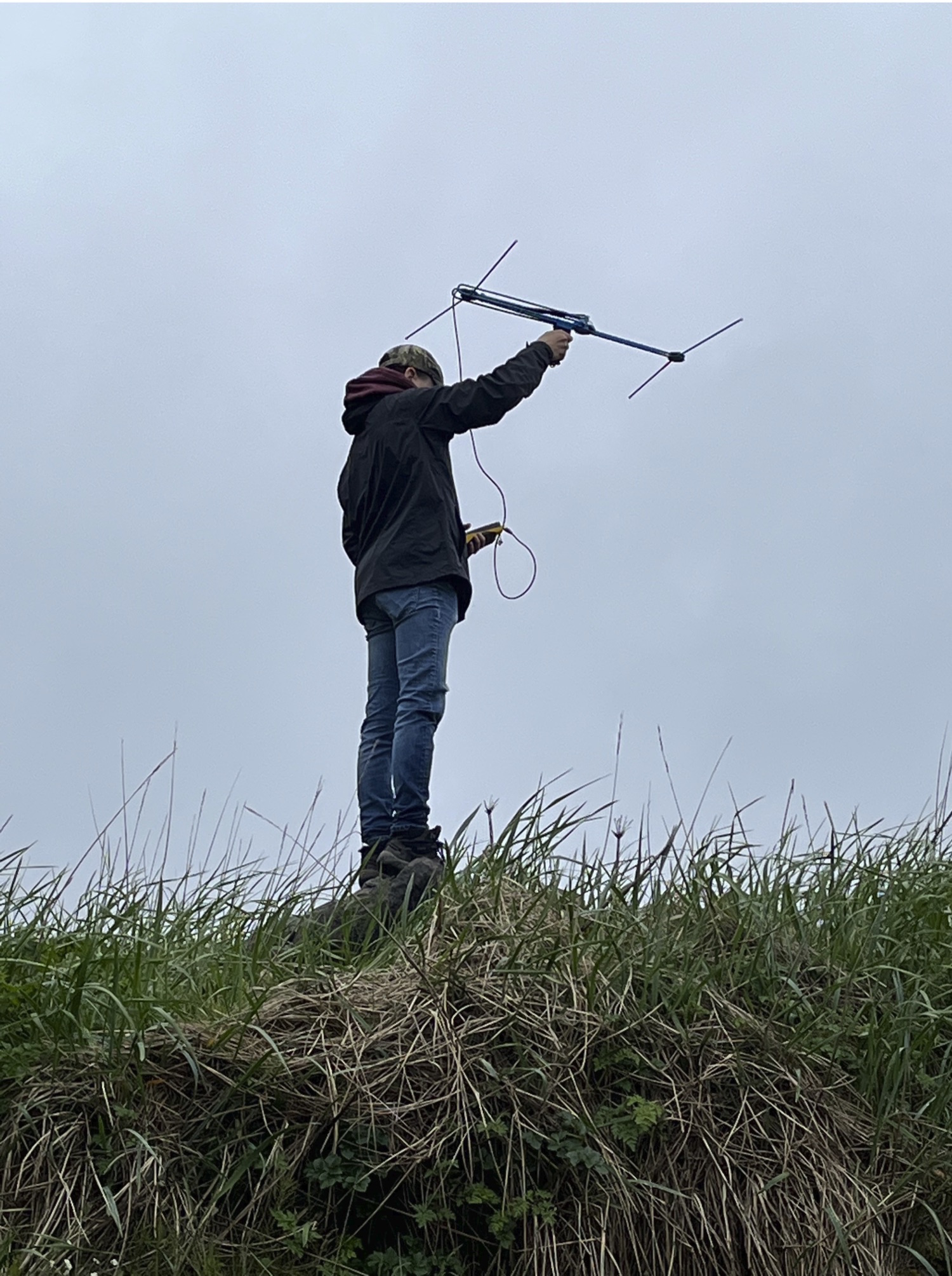
GPS tags are larger, and weigh approximately 8 grams (Figure 1, left photos). These tags are affixed to the body feathers of birds and are capable of recording the finer-scale movements of birds over a shorter period of time due to battery capacity. The GPS tags our research group is using this year allow for remote download of the archival data stored on the tag using a VHF
antennae (Figure 1, upper right). This means that we do not have to recapture the bird to retrieve the data, which is generally good for the bird and for the researchers!
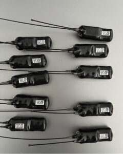
GPS tags ready to deploy
Below, we have plotted some of our First Tracks of GPS data (bird 929) showing where adult Black-Legged Kittiwakes go to forage while raising their chicks. Interestingly, several of the birds we have tracked this year are foraging at the continental shelf break of the Bering Sea (over 150 km away)!
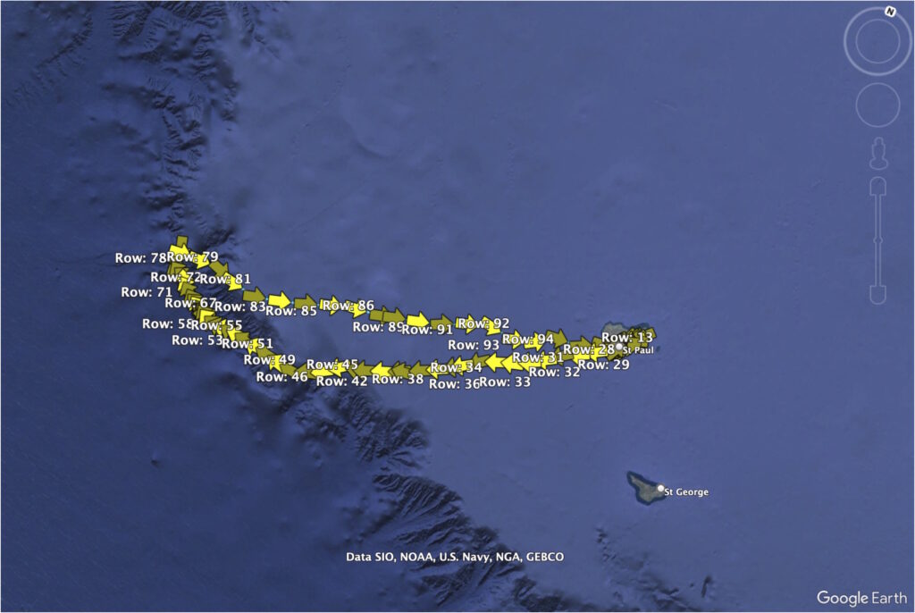
GPS track of a Black-legged Kittiwake traveling from St. Paul Island all the way to the continental shelf to feed
Why do you think the seabirds might be going to this area to forage?